Hikes in Cerrina
Nature, hills, trails, adventures, landscapes, seasons
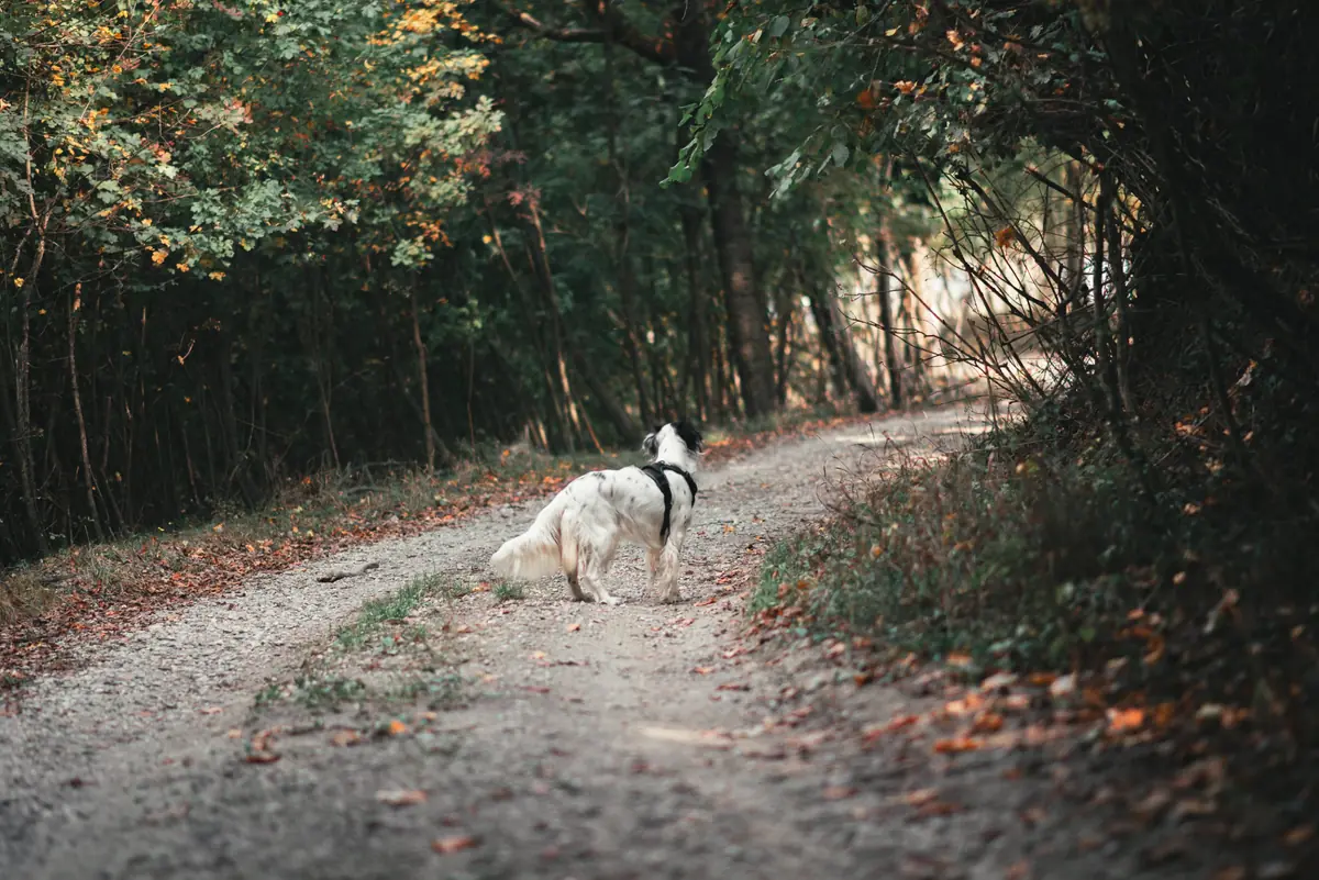
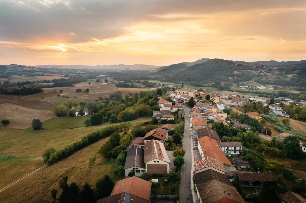
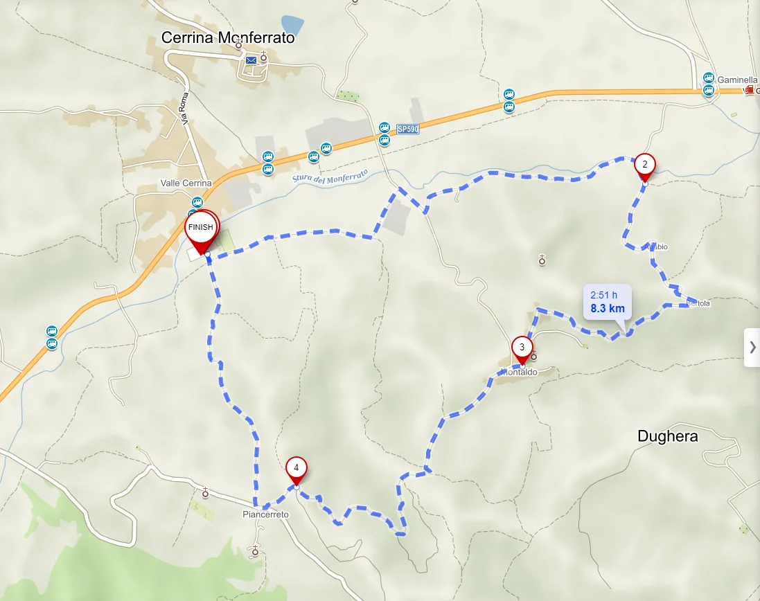
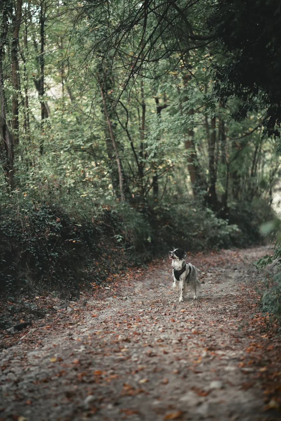
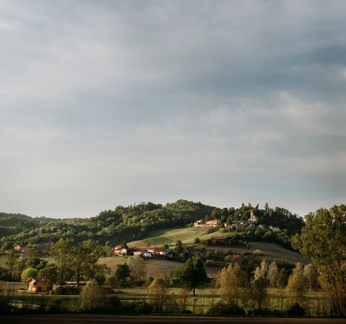
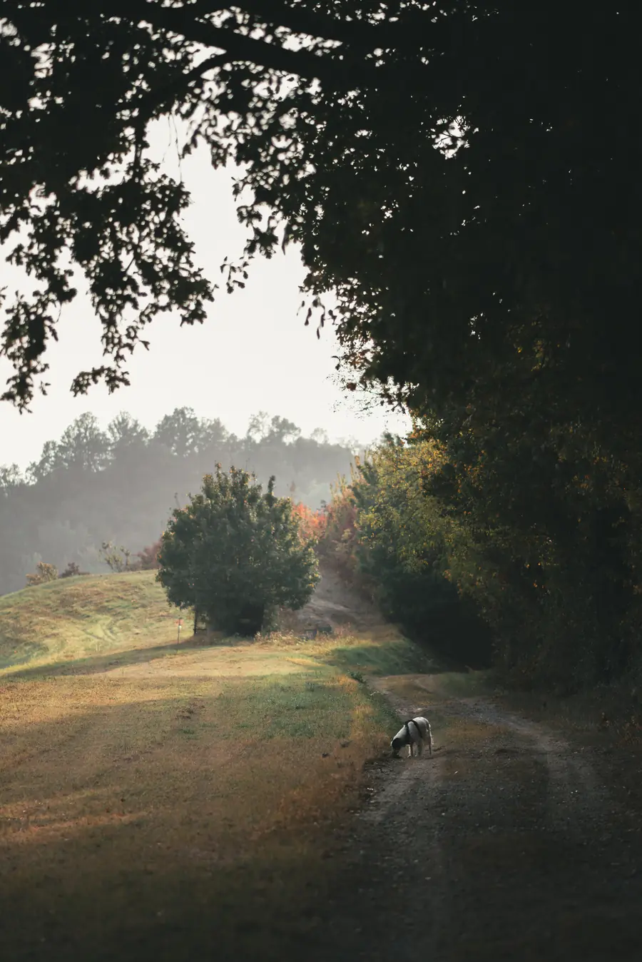
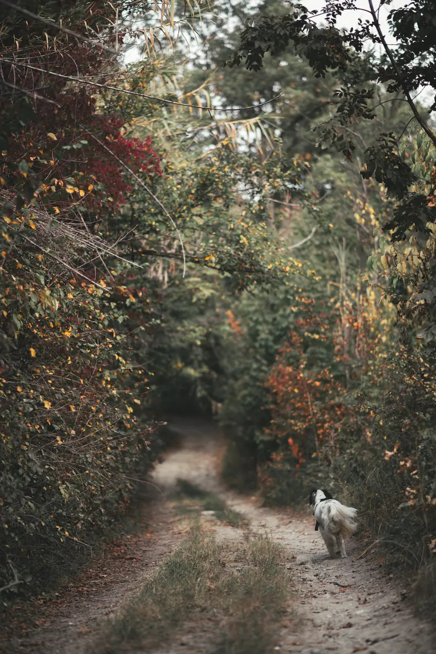
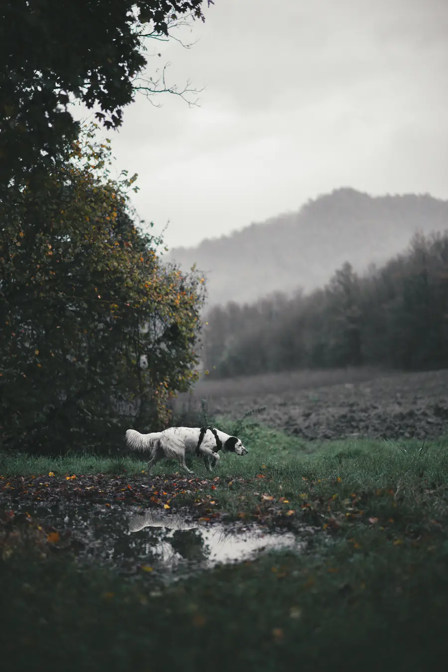
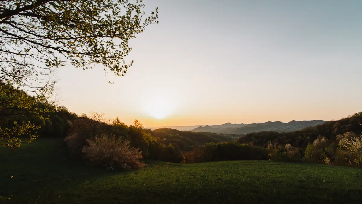
A day trip to the hills around Cerrina is well worth it: among historic mule tracks and cool paths, a breathtaking landscape hides around every corner.
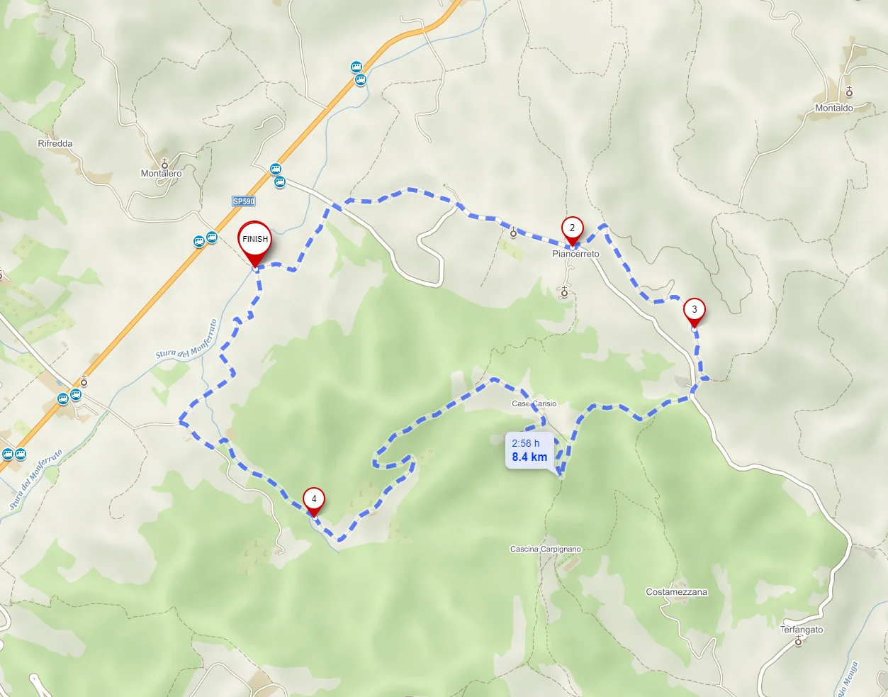
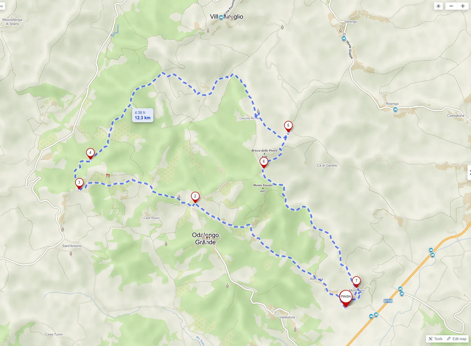
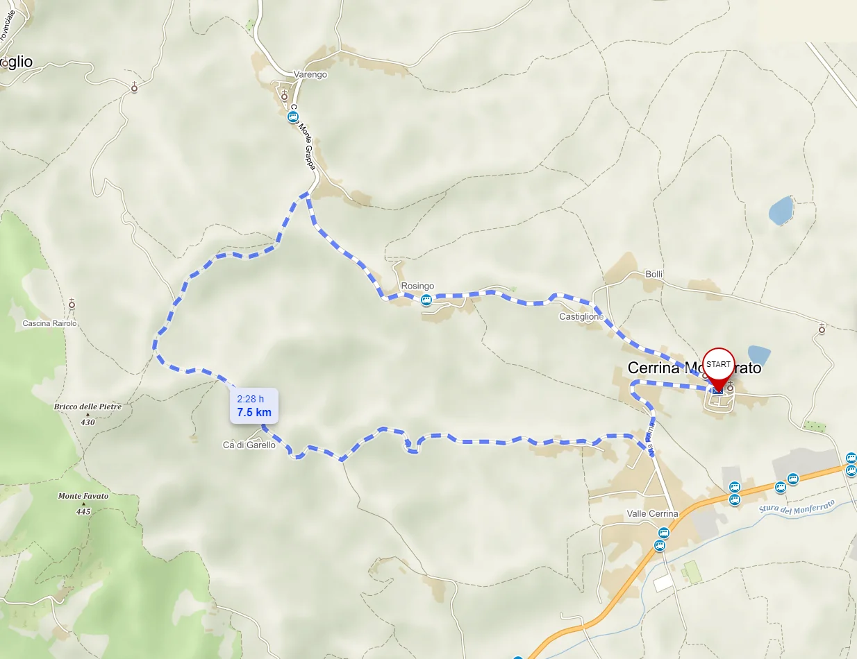
So we have designed four routes to enjoy everything our land has to offer.
Long-distance routes
If you are lucky enough to be able to stay a little longer in Valcerrina, why not consider walking the Trekking dei Castelli Bruciati (“Burnt Castles” trek) or the historic Superga - Vezzolano - Crea route?
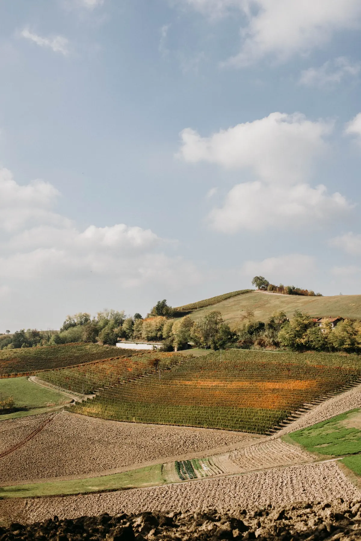
Trekking dei Castelli Bruciati
Discover an area rich in natural and artistic beauty that makes up the heritage of Valcerrina, along nature, historical, cultural and devotional trails, passing 35 churches, 8 castles, countless enchanting views and a wine-growing landscape recently recognised by UNESCO as a World Heritage Site.
- Length
- 103 km
- Elevation gain
- 2745 m
- Loop
- yes
Elevation profile
0 kmAltitude 102–415 m103 km
Route line
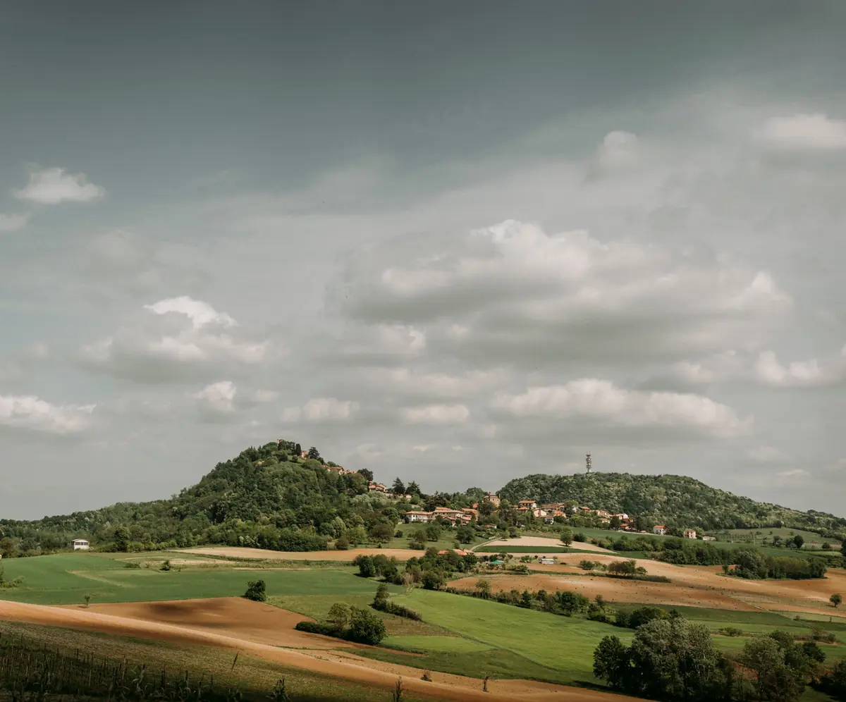
Superga Vezzolano Crea
The Superga Vezzolano Crea trail follows the hill ridge south of the Po. Starting from the Basilica of Superga, it reaches the Sanctuary and Sacro Monte of Crea, set within a regional special reserve, passing the Canonica di Vezzolano, an extraordinary example of Romanesque architecture.
- Length
- 64 km
- Elevation gain
- +1800 / −2000 m
- Loop
- no
Elevation profile
0 kmAltitude 232–654 m64 km